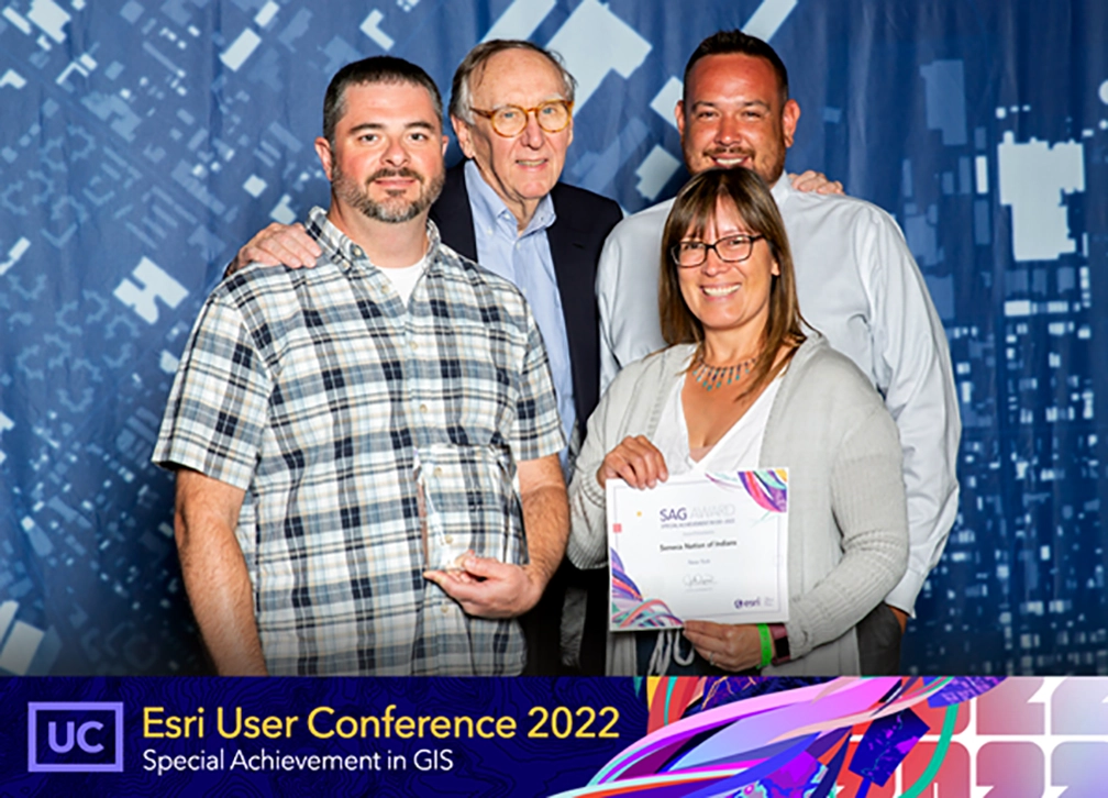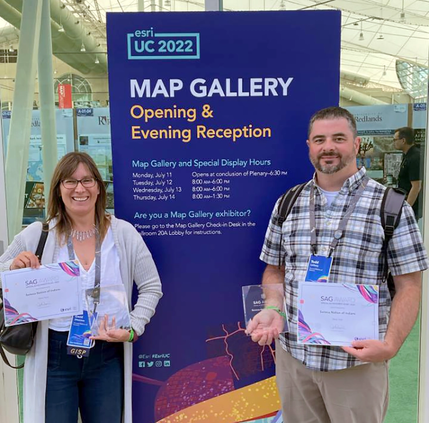
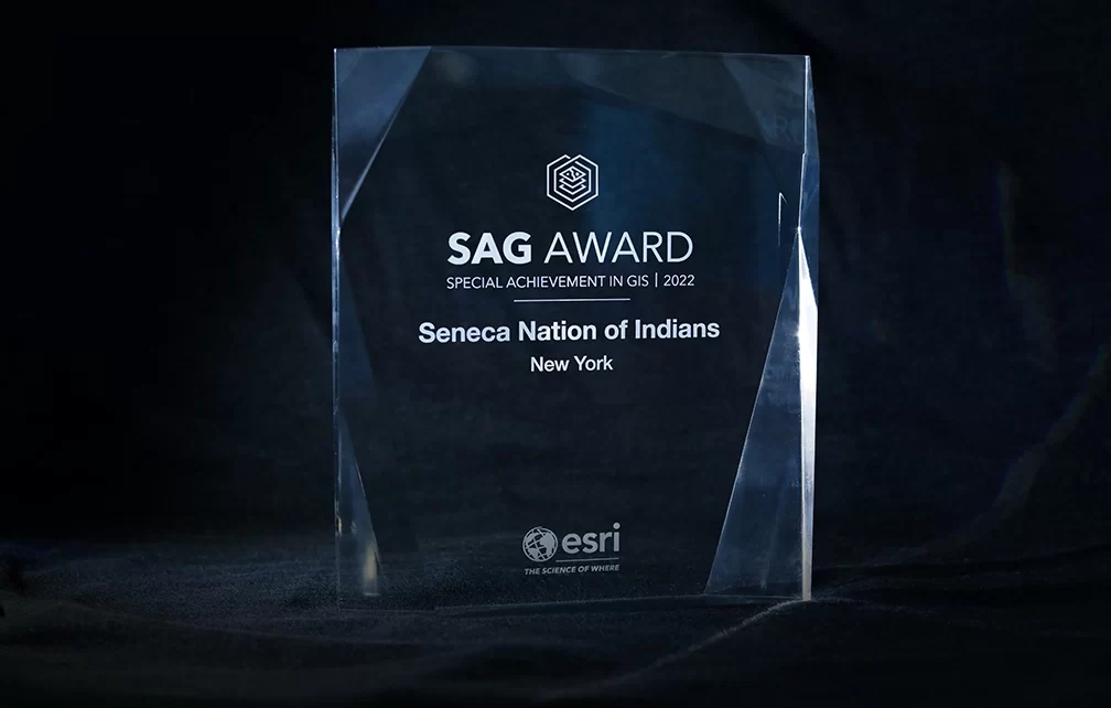
Seneca Nation Selected for ESRI Special Achievement Award in Geographic Information Services
Project Goal
The Seneca Nation Geographic Information Services Department creates, compiles and maintains geographic data for utilization by our tribal government and departments for project planning, development and analysis. Our goals are to provide, maintain, and secure spatially accurate geographic data sets for all Nation Departments. We strive to increase awareness of GIS uses and capabilities through application integration and broad deployment, utilizing a hybrid approach of our internal Portal and ArcGIS online. We make efforts to promote an understanding of GIS among Community members and the youth. As well as be cognizant of the ever-evolving technological advances in GIS and incorporate them into our hybrid GIS system to reflect those innovations.
Business Problem Solved
The pandemic offered a primetime slot to showcase what GIS can do and began to create more conversations, engage departments and stakeholders. Our goal was to enable end users to access COVID data from a single authoritative source that was easily accessible. This led to the creation of the COVID HUB. With COVID case numbers reported by our Health Department using Survey123, we produced Dashboards showing the latest trends. Other applications and numerous surveys were created, such as the employee self-assessment survey and an elder wellness survey which continues today. These results gave leadership real-time data to make difficult decisions on policies and where to allocate resources. The SNI-GIS Hub was launched for access to apps for public and departmental use. Specific use includes desktop and mobile version apps for our Utilities department, used daily for asset location as well as secured applications for leadership and our AGOL users are growing as interest piques.
Technology Implemented
ArcGIS Enterprise 10.8
ArcGIS Pro
ArcGIS Online
-Survey123
-Dashboard
-HUB
-Navigator
-Workforce
Development Team Biography
The GIS team has been implementing GIS solutions together for 18 years. The team trains Nation staff on internal GIS solutions and participates in internal working groups to promote the use of GIS. Gerri Jayne Jimerson, GIS Manager, enjoys providing solutions through AGOL utilizing Business Analyst, Survey123, Dashboards, Story Maps and Workforce. Todd LaQuay, Sr. GIS Analyst, has deployed several solutions, as well as custom built geodatabases in addition to HUB solutions.